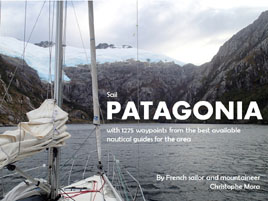
€35 Patagonia 1275 WPTS
Those intending to sail the Patagonian Channels will soon learn about the invaluable resource of Patagonia & Tierra del Fuego Nautical Guide, also known as the «Blue Bible», complement to which is RCC Chile Cruising Guide from Imray.
During our northbound voyage (from Puerto Williams to Puerto Montt) of 2600 nautical miles in the Chilean Fjords, Christophe took the time to create an all-encompassing file of navigation aids and waypoints mentioned in those two books. The result was a .gpx file of 1275 waypoints, which we used with the navigation software OpenCPN throughout our year-long trip in Patagonia.
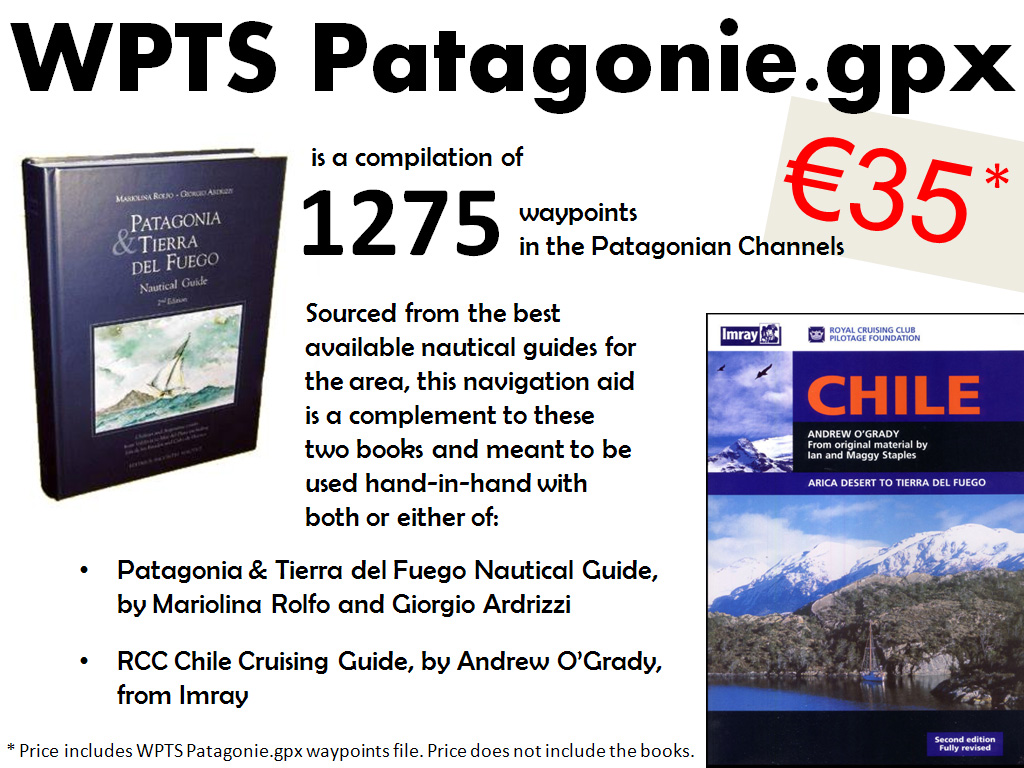
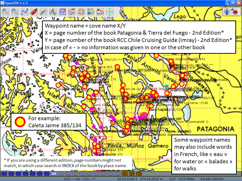
«WPTS Patagonie.gpx» (562 KB), is a .gpx file composed of 1275 navigation aids and anchorage waypoints. Three icons of different shape and colour let you know at a glance the quality of the shelter in any anchorage. The name of the waypoints includes cove name, page numbers from the books but also symbols «+» for good shelter, «-» for poor shelter, «*» for beauty. See PDF below for more information.
Note: the page numbers correspond to the 2nd edition of Patagonia & Tierra del Fuego Nautical Guide and the 2nd edition of RCC Chile Cruising Guide (Imray). If you are using a different edition, page numbers might not match, in which case search in Index of the book/s by place name.
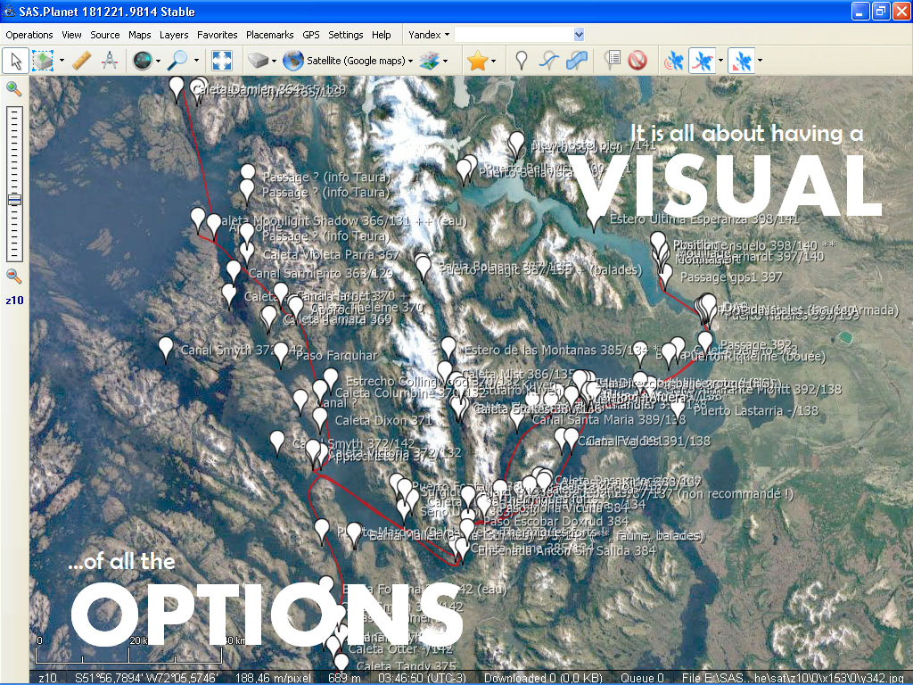
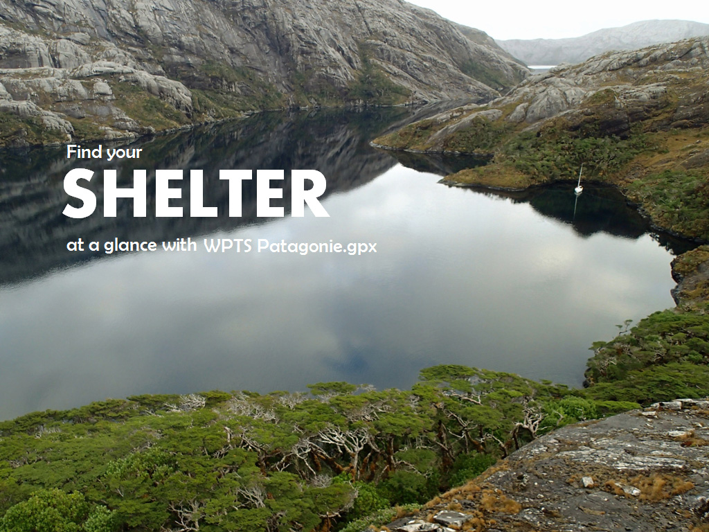
Cloud of waypoints on your screen
Below are two screenshots showing what the waypoint cloud would look like in SASPlanet and OpenCPN navigation softwares.
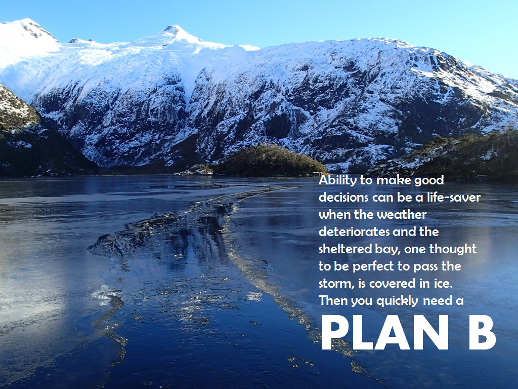
Plan B
Seeing the location of the cove on the computer screen we would instantly find the extra information needed in one or the other book. Without these waypoints we would have spent hours looking through the guides which in reality was not an option en route. Ability to make good decisions at a glance can be a life-saver when the weather deteriorates and the sheltered bay, one thought to be perfect to pass the storm, is covered in ice. Then you quickly need a Plan B!
Download PDF
Click on the image to see PDF
This document includes the legend of the waypoints file and tells more about the product and the author.
How to install
This .gpx file could be used in any software which can import a .gpx file. However, the colour-code of the waypoints will only be visible in OpenCPN. If using the latter, simply save the .gpx file in the «Layers» folder of OpenCPN:
C:\Documents and Settings\All Users\Application Data\opencpn\Layers
or
C:\Documents and Settings\Administrator\Application Data\opencpn\Layers
Price: €35. To receive by e-mail this .gpx file of 1275 navigation aids and anchorage waypoints, click on the «Donate» button below and proceed to payment via Paypal.
Thank you for supporting SY L’Envol’s journey!
All contributions received through this page will be added to the running crowdfunding project and visible here:
www.intothewind.fr/crowdfunding/
Free: our ship’s track and 90 anchorages in Patagonia are FREE to download here:
www.intothewind.fr/au-revoir-patagonie/
Blog articles about this part of the trip:
www.intothewind.fr/tag/patagonie/
Christophe + Carina
SY L’Envol
Map of the Voyage
————–
Other .gpx files: